- Description
- Information
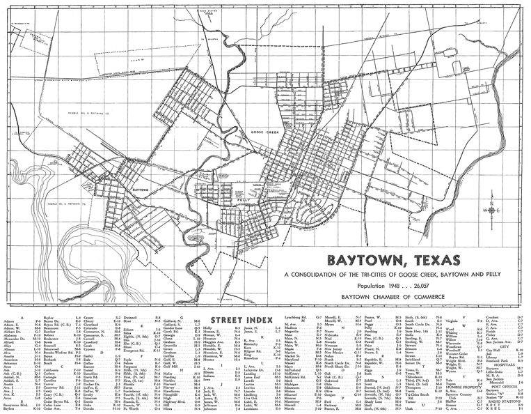
This map was created in 1947 by Baytown architect Lowell Lammers for the Chamber of Commerce and was the first map made after consolidation. It was distributed by the Chamber free of charge. The map comes from the collection of Lindy Fortenberry.
- Author
- From the collection of Lindy Fortenberry, via Chuck Chandler.
- Posted on
- Monday 12 August 2019
- Filesize
- 2406 KB
- Albums
- Visits
- 3987